Aerial photography type, the art of capturing images from an elevated perspective, has a rich history and has become increasingly popular in modern times. This article explores the world of aerial photography, its equipment, techniques, applications, and future trends. By providing a comprehensive overview, readers will gain insights into this captivating form of visual storytelling.
Definition of aerial photography
Aerial photography involves capturing photographs from an elevated position, typically from the air. It provides a unique perspective, allowing viewers to see the world from above, revealing patterns, textures, and landscapes that may be otherwise unnoticed.
Equipment for Aerial Photography
Cameras for aerial photography
- Digital single-lens reflex (DSLR) cameras
DSLR cameras are widely used in aerial photography due to their versatility and image quality. With interchangeable lenses, manual controls, and large image sensors, they provide excellent image detail and dynamic range.
- Mirrorless cameras
Mirrorless cameras offer compactness without compromising image quality. They lack the bulky mirror mechanism found in DSLRs, making them lighter and more suitable for drone-based aerial photography.
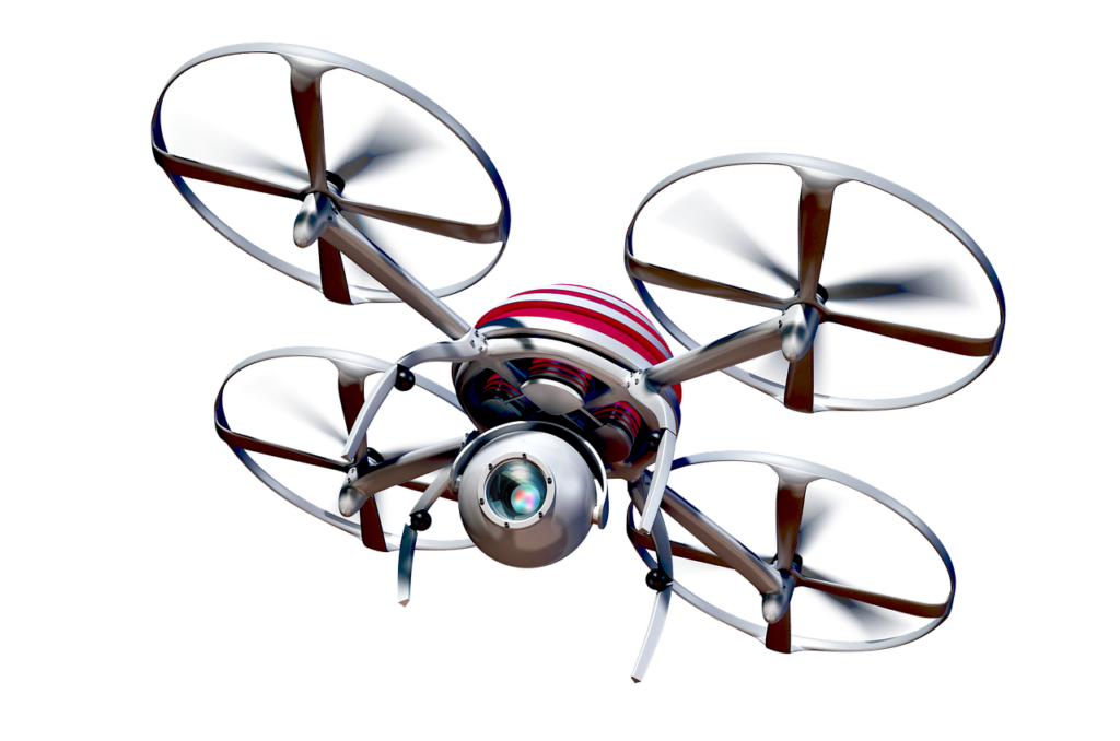
Drones for aerial photography
- Types of drones
a. Multirotor drones
Multirotor drones, such as quadcopters, are the most common choice for aerial photography. They offer stability, maneuverability, and the ability to hover in one place, making them ideal for capturing precise shots.
b. Fixed-wing drones
Fixed-wing drones are designed for longer flights and covering larger areas. They require a runway for takeoff and landing, and they excel in aerial mapping and surveying applications.
- Features to consider when choosing a drone
a. Camera specifications
The quality of the onboard camera plays a crucial role in aerial photography. Look for drones with high-resolution sensors, adjustable settings, and stabilization mechanisms for sharp and clear images.
b. Flight time and range
Consider the flight time and range of a drone to ensure it can cover the desired area or subject without interruption. Longer flight times and extended ranges provide greater flexibility in capturing images.
c. Stability and maneuverability
Stability is vital for aerial photography, as it ensures sharp images. Look for drones with advanced stabilization systems, such as gimbals, and agile maneuvering capabilities to capture the perfect shot.
d. Safety features
Drones equipped with obstacle avoidance sensors and GPS-enabled return-to-home functions enhance safety and protect both the equipment and surrounding environment.
Techniques for Capturing Aerial Photographs
Traditional methods
Majority of traditional methods used today are too expensive (most of the times), still big media companies, goverment and other organizations use them daily just because they can or need to do so.
- Manned aircraft
a. Small planes
Small planes equipped with specialized camera mounts and open windows offer a traditional and versatile approach to aerial photography. They allow photographers to capture high-resolution images with a wide range of focal lengths.
b. Helicopters
Helicopters provide exceptional maneuverability, allowing photographers to capture images from various angles and heights. They are commonly used for aerial surveys and capturing dynamic shots.
- Aerial masts and poles
Aerial masts and poles are stationary devices used to lift cameras to higher vantage points without the need for aircraft. They are particularly useful in situations where drone flight is restricted or not possible.
Drone-based techniques
- Basic drone photography
Drone photography involves flying a camera-equipped drone and capturing images from different altitudes and angles. It offers flexibility, affordability, and ease of use, making it accessible to a wide range of photographers.
- Automated flight modes
a. Waypoints
Waypoints allow users to predefine a flight path for the drone to follow. This enables photographers to focus on composition and camera settings while the drone autonomously captures images along the predetermined route.
b. Follow me
Follow me mode allows drones to track and follow a subject while maintaining a constant distance and altitude. This mode is useful for capturing dynamic shots of moving subjects, such as athletes or vehicles.

c. Orbit mode
Orbit mode enables the drone to circle a specific point of interest, capturing a 360-degree view. This mode is commonly used for capturing panoramic images or videos of landscapes and architecture.
Legal and Safety Considerations
Regulations for drone usage
- Registration requirements
Depending on the country and region, drone operators may need to register their drones and obtain appropriate certifications or licenses. Compliance with local regulations is essential to ensure safe and legal operations.
Check this if you live in United states
Check this if you live in United Kingdom
- Restricted airspace
Drone operators must be aware of restricted airspace, such as airports, military zones, and national parks. Respecting these restrictions prevents interference with manned aircraft operations and protects sensitive areas.

Safety precautions
Pre-flight checklist
Performing a pre-flight checklist helps ensure that the drone is inoptimal condition for safe operation. It includes inspecting the drone, batteries, and controller, as well as checking weather conditions and airspace restrictions.
Weather conditions
Avoid flying in adverse weather conditions, such as strong winds, rain, or fog, as they can affect the stability and safety of the drone. Always check weather forecasts and plan flights accordingly.
Flight planning and risk assessment
Before each flight, carefully plan the route and consider potential risks or obstacles. Assess the surroundings for potential hazards, such as power lines, tall buildings, or crowded areas, and adjust the flight plan accordingly.
Applications of Aerial Photography
Real estate
- Property listings
Aerial photography provides a unique perspective for showcasing properties. High-quality aerial images can highlight the property’s features, such as location, size, and surroundings, attracting potential buyers.
- Land surveying and mapping
Aerial photography is a valuable tool for land surveying and mapping. It allows for the creation of detailed topographic maps, monitoring changes in landscapes over time, and assisting in urban planning.
Environmental monitoring
- Wildlife conservation
Aerial photography aids in wildlife conservation efforts by capturing images of animal populations, habitats, and migration patterns. It helps researchers and conservationists understand and protect vulnerable species.
- Forest management
Aerial photography assists in forest management by monitoring tree health, identifying areas affected by pests or diseases, and assessing the overall condition of forests. This data aids in making informed conservation and management decisions.

Filmmaking and cinematography
- Aerial shots in movies
Aerial shots add a captivating visual element to films, enhancing storytelling and providing breathtaking perspectives. Aerial photography is commonly used in action sequences, establishing shots, and scenic landscapes.
- Sports events and documentaries
Aerial photography brings a dynamic perspective to sports events, capturing fast-paced action and wide-angle views. In documentaries, aerial shots provide context, emphasizing the scale and significance of the subject matter.
Urban planning and architecture
Cityscape photography
Aerial photography showcases the beauty and complexity of urban landscapes. It captures skylines, architectural details, and city layouts, providing valuable information for urban planners, architects, and researchers.

Construction progress monitoring
Aerial photography enables the documentation of construction projects from start to finish. It helps monitor progress, identify potential issues, and provides stakeholders with visual updates on large-scale developments.
Post-Processing and Editing
Image selection and organization
After a successful aerial photography session, it’s important to review and select the best images. Organize them into folders or albums for easy access and efficient post-processing.
Raw file conversion
Convert raw image files to formats compatible with image editing software. Raw files contain more data and allow for greater flexibility in post-processing adjustments.
Adjustments and enhancements
Exposure and color correction
Fine-tune exposure levels and adjust colors to achieve the desired mood and aesthetic in the photographs. Balancing highlights, shadows, and mid-tones enhances the overall visual impact.
Image sharpening and noise reduction
Apply sharpening techniques to enhance image clarity and detail. Reduce noise, particularly in low-light or high-ISO images, to improve overall image quality.

Panoramic stitching and 3D modeling
Merge multiple aerial images to create stunning panoramic views. Additionally, advanced software can generate 3D models of landscapes or buildings from aerial photographs, providing immersive visualizations.
Tips for Better Aerial Photography
Composition and framing
Consider the rule of thirds, leading lines, and symmetry when composing aerial photographs. Experiment with different angles, heights, and perspectives to create visually appealing and engaging images.
Lighting considerations
Pay attention to lighting conditions, as they significantly impact the mood and quality of aerial photographs. Golden hour (early morning or late afternoon) often provides soft, warm light, while dramatic cloud formations can add interest to the sky.

Camera settings and exposure control
Mastering camera settings such as aperture, shutter speed, and ISO enables better exposure control. Bracketing shots (capturing multiple exposures) can assist in post-processing and achieving balanced exposure in challenging lighting conditions.
Lens selection for different perspectives
Choose lenses suitable for capturing various aerial perspectives. Wide-angle lenses capture expansive landscapes, while telephoto lenses allow for detailed shots of specific subjects or architectural features.
Future Trends in Aerial Photography
Advancements in drone technology
Drone technology is rapidly evolving, with ongoing advancements in areas such as flight autonomy, obstacle detection, and image stabilization. These improvements will enhance the capabilities and safety of aerial photography.
Integration of artificial intelligence
Artificial intelligence (AI) will play a significant role in the future of aerial photography. AI-powered drones can autonomously track subjects, perform advanced image analysis, and assist with real-time editing and post-processing.
Augmented reality overlays in live feeds
Augmented reality (AR) overlays in live drone feeds offer exciting possibilities for aerial photography. They can provide additional information, such as points of interest, historical context, or virtual reconstructions, enhancing the viewer’s experience.
Conclusion
In conclusion, aerial photography offers a captivating way to see and capture the world from above. Whether using traditional methods or modern drones, the possibilities are endless. From real estate to environmental monitoring, filmmaking to urban planning, the applications of aerial photography continue to expand. As technology advances, we can expect even more exciting developments in this visually stunning art form. So, grab your camera or drone and explore the sky to unleash your creativity with aerial photography.